Gravelbike Bregenz

Road cycling circuit from Buch via Bregenz, Scheidegg and the Bregenzerwald

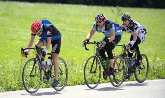
This challenging road cycling circuit starts in Egg and links the Vorderer Bregenzerwald with the Lake Constance shoreline, the Pfänder ridge, Westallgäu and the hills around Sulzberg. Covering around 83.7 kilometres with approximately 1,430 metres of ascent, it combines long climbs, fast descents and quiet stretches on minor roads.

From Egg, the route first heads via Alberschwende and the Rhine Valley to Bregenz. It continues via Lochau, Eichenberg and Möggers to Scheidegg, then returns through the Vorderer Bregenzerwald via Sulzberg, Doren, Krumbach, Hittisau and Lingenau to Egg.

As this is a circuit, it can generally also be joined at other suitable points along the route.

Details

Difficultydifficult
Highest point1016 m
Best time of year
JanFebMarAprMayJun
JulAugSepOctNovDec
Short description

This challenging road cycling circuit starts in Egg and links the Vorderer Bregenzerwald with the Lake Constance shoreline, the Pfänder ridge, Westallgäu and the hills around Sulzberg. Covering around 83.7 kilometres with approximately 1,430 metres of ascent, it combines long climbs, fast descents and quiet stretches on minor roads.

From Egg, the route first heads via Alberschwende and the Rhine Valley to Bregenz. It continues via Lochau, Eichenberg and Möggers to Scheidegg, then returns through the Vorderer Bregenzerwald via Sulzberg, Doren, Krumbach, Hittisau and Lingenau to Egg.

As this is a circuit, it can generally also be joined at other suitable points along the route.

Route description

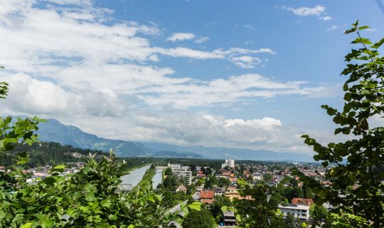
The direction described here starts in the village of Egg. From Egg, the route climbs via Müselbach to Alberschwende. Via the Bucherstraße and the heights around Alberschwende, the route first follows varied roads, with some climbing, towards the Rhine Valley. After descending via Schwarzach and Wolfurt, the circuit reaches the Lake Constance shoreline in Bregenz.

From Bregenz, the route follows the Pfänder ridge via Lochau. The long ascent to Eichenberg leads on tarmac roads into the hills. With increasing elevation, views open up across Lake Constance, the Rhine Valley and the Swiss mountains. The circuit continues over the wooded and agricultural ridge to Möggers before crossing the border into Germany.

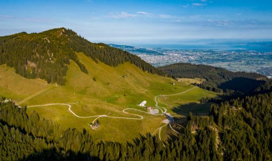
Around Scheidegg in Westallgäu, open pastureland, gentle hills and small settlements shape the scenery. The route passes via Manzen to Weiler im Allgäu and then climbs again towards Sulzberg. On the ridge, the tour reaches its highest point at around 1,016 metres, with broad views of the Bregenzerwald and the Allgäu.

The following descent leads to Doren. Via Krumbach and Hittisau, the route continues through the rolling cultural landscape of the Vorderer Bregenzerwald to Lingenau and Egg. Short climbs, descents, meadows, traditional farmhouses and village centres make this section varied.

As a circuit, it can generally also be started at other suitable points along the route.

Getting there

The start and finish of the direction described here is the village of Egg. As this is a circuit, it can generally also be joined at other suitable points along the route.

By public transport

Bus stop at the start/finish: Egg Zentrum. Please check the current connection and bicycle carriage before travelling at vmobil.at.

Railway station at the start/finish: Bregenz or Dornbirn railway station. Bus connections to Egg are available from there.

By car

Exit the A14 near Bregenz and take the Bregenzerwaldstraße (L200) to Egg.

Parking

For arriving by car, we recommend the public car park at Buch municipal office. Please observe local signage.

Equipment

For this challenging circuit, a road bike in roadworthy condition with reliable brakes and climbing-friendly gearing is recommended. A spare inner tube, pump, multi-tool, water bottles, energy supplies and weather-appropriate clothing are essential.

For the longer descents, a helmet, gloves and an additional warm layer in changeable weather are advisable. As the route crosses the border into Germany, a valid travel document should be carried.

Safety information

The route mainly follows tarmac roads and cycle links. Increased attention is required in village centres, on busier roads and on sections shared with other users.

The long climbs to the Pfänder ridge and Sulzberg, as well as the descents to Bregenz, Doren and Buch, require confident riding skills. Check brakes, tyres and gears before setting off, ride ahead through bends and adapt speed to road and visibility conditions.

Weather, wind and visibility can change quickly on the ridges. Do not ride the tour during thunderstorms, heavy rain, fog, snow or ice. Wet road surfaces can be especially slippery on descents.

The route crosses the border between Austria and Germany. Carry a valid travel document and observe the applicable traffic regulations.

You ride at your own risk. Check your bicycle, the weather, your personal fitness and road conditions before setting off.


EMERGENCY

112 European emergency number – works in Austria and Germany

144 ambulance service in Austria

Additional information

Refreshments and rest stops

Food and drink are available in Bregenz and in numerous places along the route, including Eichenberg, Möggers, Scheidegg, Weiler im Allgäu, Sulzberg, Hittisau and Egg. Please check opening hours and closing days in advance.

Attractive rest stops can be found on the Lake Constance shoreline in Bregenz, at the viewpoints along the Pfänder ridge, around Scheidegg and on the heights near Sulzberg.

Landscape and culture

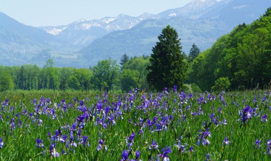
The circuit links the Lake Constance shoreline with the Pfänder ridge, Westallgäu and the rolling cultural landscape of the Vorderer Bregenzerwald. Pastureland, individual farmsteads, traditional farmhouses, village centres and recurring panoramic views shape the route.

Special features

The tour is long and involves significant elevation gain. It is suitable for well-trained road cyclists with confident riding skills and should be planned with sufficient time in reserve.

Tour-Quickfacts
Difficulty
difficult
Distance
83,7 km
Duration
06:15h
Ascent
1430m
Descent
1430m