The GPX loop starts directly at Brunnenfeld-Stallehr railway stop. It initially follows tarmac side roads and cycle paths towards Bludenz. Via Klarenbrunnstraße and Unterer Illrain, the route reaches the area around Bludenz railway station before continuing across the valley floor.
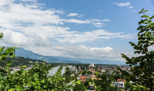
The route then follows cycle paths and quiet roads through the Walgau. It passes Unterfeld and continues towards Ludesch, Thüringen and Bludesch. In Thüringen, St Anna Church lies directly beside the route. The profile remains almost completely flat along this section.
Beyond Bludesch, tarmac cycle paths, side roads and farm tracks alternate. The route continues through Schlins to Satteins. Jagdberg Castle Ruins lie slightly off the route and can be included as a short detour if desired.
From Satteins, the loop continues towards the Göfis bridge over the Ill and the Felsenau area. The GPX track makes a loop through the western Walgau here before turning east again. This section is also predominantly tarmac and mostly follows cycle paths or quiet roads.
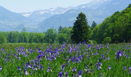
In the Galina area, the tour reaches its most distinctive natural highlights. Galinasee comes first beside the cycle path, followed by Nachbauersee. Both lakes developed from former gravel pits and were transformed into near-natural waters with riverside woodland and shoreline vegetation. They are suitable places for a quiet break.
After the lakes, the route heads towards Schlins-Beschling and then returns eastwards on the other side of the Walgau. Longer sections run close to the River Ill and through the Tschalenga Au. The route remains largely flat and mainly follows tarmac cycle paths and farm tracks.
Near Bludenz, the loop rejoins the familiar roads from the first section. Klarenbrunnstraße leads back to Brunnenfeld-Stallehr railway stop. As this is a loop, it is also possible to join at other suitable points along the route; the GPX direction described here starts in Brunnenfeld-Stallehr.