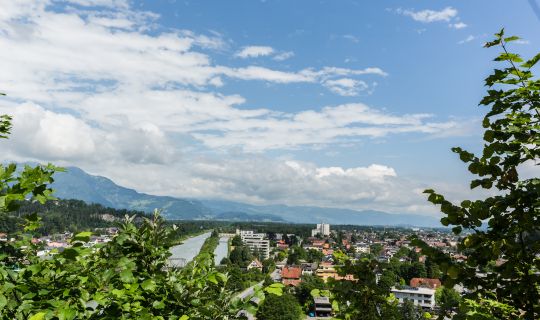
The mountain bike circuit starts at Nenzing railway station on the edge of the Walgau valley. From here, the route initially follows surfaced roads through Nenzing. Even from the valley floor, you can see the wooded slopes that lie ahead in the first part of the ride. After leaving the built-up area, the long climb towards Plandedon begins.
The Plandedonweg steadily gains height. It passes through extensive woodland, climbing for several kilometres. Along the forest roads, shaded sections alternate with views across the Walgau valley. Around Mottakopf, the landscape gradually opens up before the mountain scenery of Tschengla comes into view. The sustained gradients call for careful pacing.
At approximately 1,250 metres, the circuit reaches the Tschengla plateau and Alpe Rona. After the prolonged climb, the open alpine pastures provide a welcome change of scenery. This working alpine dairy is known for its cheese-making and local alpine products. A break here offers an opportunity to enjoy the surrounding mountain views.
From Alpe Rona, the circuit continues uphill towards Loischkopf and Burtschasattel. The route now crosses higher alpine pastures and wooded terrain; the predominantly gravel tracks still require stamina and concentration. At Burtschasattel, at approximately 1,680 metres, an impressive mountain panorama unfolds. This is also where you will find the Frööd mountain restaurant, with views that include the distinctive peak of Zimba.
The route then crosses Parpfienzsattel towards Furkla Alpe. Its character changes: after the lengthy climbs, there are also rolling and gentler sections at altitude. Alpine pastures, mountain meadows and patches of woodland alternate along the way. The views extend across Brandnertal and towards the surrounding peaks of the Rätikon range.
Around Garsellijoch, one final climb awaits. At around 1,720 metres, the circuit reaches its highest section. Between the mountain slopes, views open out towards the Walgau valley and the surrounding peaks. Before heading downhill, it is worth pausing to take in the altitude and scenery.
A long descent across Nenzingerberg then leads back towards the valley. The route drops more than 1,000 metres through numerous bends. Woodland, open slopes and the alpine pastures around Nenzingerberg shape this section of the ride. Anticipating changes in the surface and maintaining a controlled speed are especially important on gravel and uneven stretches. Lower down, the route returns to the valley around Nenzing and finishes with the final kilometres back to the railway station. The circuit can also be joined at other suitable locations where access and cycling are permitted.