The mountain bike circuit starts in Innerlaterns, in the Kühboden area near the lower station of the Seilbahnen Laterns lifts. At around 1,150 metres above sea level, the starting point is already surrounded by the mountains of the Laternsertal valley. Rather than a gentle warm-up, the ride begins with a demanding climb, gaining about 450 metres of elevation over its first four and a half kilometres.
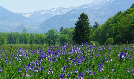
As the route climbs, the alpine pastures around Gapfohl become more prominent. It reaches its highest section at approximately 1,600 metres above sea level, in the area of the Gapfohlalpe. Between the wooded mountainsides and open grazing land, there are frequent views of the surrounding Laternsertal mountains. After the long initial climb, the route briefly becomes much gentler.
The character of the ride then changes completely. Around the ridge leading towards Alpwegkopf, a long descent begins, taking the route out of the alpine landscape and towards the Vorderland area. On the slopes towards Dafins, forest alternates with more open stretches and views into the Rhine Valley. Over this extended section, the route loses more than 1,000 metres in elevation. Particular care and controlled speed are essential here.
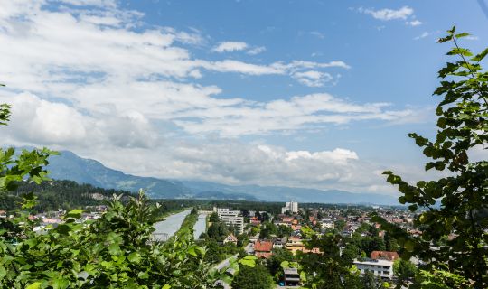
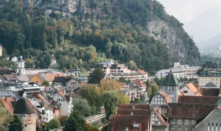
At the foot of the mountains, the circuit reaches the lower-lying settlements and valley floor of the Vorarlberg Rhine Valley. After the lengthy descent, the landscape feels much more open: villages, meadows and the broad valley plain replace the enclosed mountain slopes. A relatively gentle, slightly undulating section offers a chance to prepare for the second major part of the ride.
The route then begins to climb again. Leaving the low valley floor behind, it gradually gains height along the slopes of the Vorderland area. Steeper stretches are initially interspersed with brief opportunities to recover, before the climb continues. As the landscape shifts between settlements, meadows and woodland, the views across the Rhine Valley and surrounding mountains also change.
Further on, the circuit approaches the higher parts of the Laternsertal valley once more. The climb is not continuous: flatter and slightly downhill stretches alternate with renewed ascents. After the long descent and the elevation already gained, these changes of gradient make careful pacing important. Higher up, woodland, mountain meadows and the quieter landscape above the valley floor once again shape the surroundings.
During the final kilometres, the route returns to Innerlaterns. Shortly before the finish, there is another short descent, followed by a final, noticeably steeper climb back to the starting point at Kühboden. This completes the circuit. It is also possible to join the route at other suitable, accessible points along the way.