Details
| Fitness | |
| Landscape | |
| Difficulty | moderate |
| Experience | |
| Highest point | 723 m |
| Jan | Feb | Mar | Apr | May | Jun |
| Jul | Aug | Sep | Oct | Nov | Dec |
This gravel loop starts in the heart of Dornbirn, linking the historic town centre with the wooded slopes above Steinebach and the open expanses of the Rhine Valley. A demanding climb awaits in the first few kilometres, followed by longer, predominantly level sections.
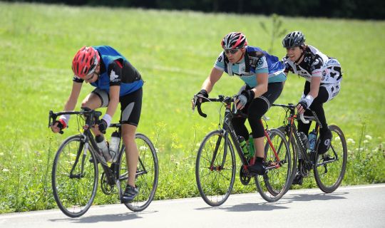
Covering approximately 33.6 kilometres with around 495 metres of ascent, the route offers a varied mix of town, woodland and open agricultural landscapes. Steep climbs and descents call for good fitness and confident braking. The route is rated moderate and is particularly suitable for sporty gravel cyclists.
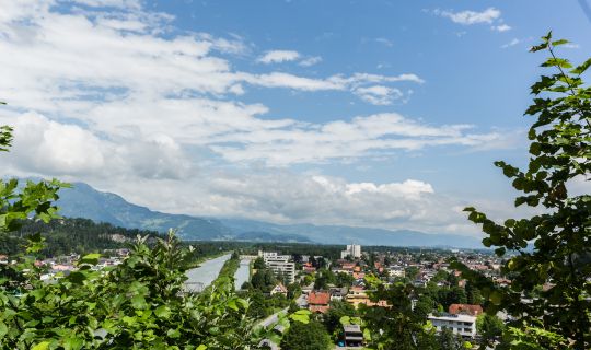
After descending from the hills above Dornbirn, the route heads towards the Dornbirner Ache and across the meadows of the Rhine Valley. It continues through the Lustenau area and past Hohenems-Dornbirn airfield before returning to central Dornbirn.
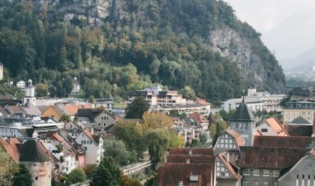
The gravel loop starts at the market square in central Dornbirn. With St Martin's parish church and the Rotes Haus, a distinctive historic timber building, the ride begins amid the town's heritage. The first part through the town centre is relatively gentle, but the route soon leaves the centre behind, heading towards Oberdorf and Steinebach.
Steinebach reveals another side of Dornbirn. The former industrial premises of the F. M. Hämmerle textile company recall the days when factories and water power shaped the town's development. At the same time, wooded hillsides draw closer. The initially tarmacked route now gains height quickly. The climb becomes considerably more demanding over several kilometres and calls for steady pacing; one sustained section averages around nine per cent.
Above Steinebach, the loop follows woodland tracks towards Kehlegg. The transition from the town into the forested hills is one of the attractions of this section. Further up, short undulations alternate with gentler stretches. Clearings between the trees occasionally offer views of the surrounding slopes. The woodland tracks call for attentive riding, particularly when the ground is damp after rain.
After another climb, the loop reaches its highest area at around 720 metres above sea level, approximately seven and a half kilometres into the ride. From here, a short, steep section is followed by a longer descent towards the valley. The route then passes through the parts of Dornbirn around Watzenegg, Unterries and Stüben, as well as the Hohlen and Kalben area. Here, wooded heights give way to scattered houses and more densely built-up neighbourhoods. Controlled speed and anticipatory braking remain important on the sometimes steep descents.
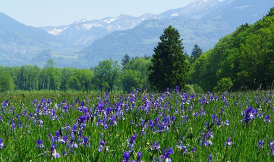
As the route reaches the Rhine Valley plain, the character of the ride changes markedly. Towards the Dornbirner Ache and around Mähder, broad meadows and farmland open up. Instead of sustained climbs and descents, the pace is now shaped by expansive, predominantly level stretches. Views extend across the open landscape towards the mountains bordering the Rhine Valley.
There are also appealing places to stop for refreshments in this part of Dornbirn. Obst-Guat zum Steirer on Forachstraße is known for its down-to-earth traditional wine-tavern atmosphere. Weinschenke ECHT on Höchsterstraße is set beside an organic vineyard, with vines growing on the property itself. Depending on opening times and where you choose to stop, either makes an option for a break; checking in advance is particularly advisable for the seasonal Weinschenke ECHT.
The loop continues through fields and meadows towards the Lustenau area and on towards Hohenems. The Koblacher Kanal is a notable feature of the landscape, reflecting the drainage network of the Rhine Valley plain. Not far beyond it lies Hohenems-Dornbirn airfield in the open valley. The canal, meadows and airfield reveal the flatter, agricultural side of the region, in marked contrast to the energetic opening section in the hills above Dornbirn.
From here, the route leads back to Dornbirn. The open countryside gradually gives way to the urban area until the market square, the starting and finishing point, comes back into view. The town centre is a pleasant place to stop for a break afterwards. As this is a circular route, it is also possible to join it at other suitable, accessible points along the way.
The tour starts and finishes at the market square in central Dornbirn.
By public transport
Bus stop at the start/finish: Dornbirn Rathaus, a few minutes' walk from the market square.
Train station at the start/finish: Dornbirn Bahnhof; the market square can be reached from here on foot or by bicycle.
Dornbirn is accessible by train. Local and regional buses run from the railway station towards the town centre, including services stopping at Dornbirn Rathaus. If bringing your own bicycle, check the rail operator's bicycle carriage conditions; bicycles cannot generally be carried on ordinary local buses.
Journey planning link: vmobil.at
By car
Take the A14 Rheintal/Walgau motorway and leave at Dornbirn-Nord or Dornbirn-Süd, then follow signs towards the town centre and Rathausplatz. The market square itself is in the pedestrian zone.
Parking
Stadtgarage Dornbirn, Rathausplatz 1, 6850 Dornbirn. This public car park is centrally located beside the Kulturhaus, just a few minutes' walk from the market square. Check the current parking conditions on site.
A roadworthy gravel bike with grippy, durable tyres, reliable brakes and gearing suitable for sustained steep climbs is recommended. A cycle helmet, sufficient drinking water, a small snack, clothing appropriate for the weather, a spare inner tube or repair kit, and a means of navigation are sensible essentials. Reliable brakes are especially important for the descent.
The longer climbs near the start require good fitness and careful pacing. On the sometimes steep descents through woodland, adjust your speed to the surface conditions, visibility and other path users. Grip may vary with the weather, so brake in good time.
Watch out for traffic in built-up areas and at road crossings. On shared paths, be considerate towards pedestrians and other cyclists. Only use forest and agricultural tracks where cycling is permitted, and respect any closures as well as farming and forestry activities. Check the weather and path conditions before setting off.
Dornbirn's market square is an inviting place for a short stroll before or after the ride. St Martin's parish church and the 17th-century Rotes Haus stand directly on the square, which is also home to the Dornbirn town museum. There are various places to stop for food or refreshments in the town centre.
Around Steinebach, the former F. M. Hämmerle factory complex recalls Dornbirn's textile heritage. The second part of the ride offers a completely different impression, with its open meadows and fields across the Rhine Valley plain. The contrast between industrial heritage, wooded hillsides and the broad valley landscape gives this loop its distinctive character.