

This challenging road cycling tour leads from Schlins via Röns, Düns and Dünserberg up to Dünser Älpele. The long climb requires excellent fitness and rewards riders with sweeping views across the Walgau valley and the surrounding mountains. The Benedict Chapel, the Dünserberg transmitter and Dünser Älpele add varied highlights along the route.

Verena Hetzenauer / Vorarlberg Tourismus
Details
| Highest point | 1577 m |
Best time of year
| Jan | Feb | Mar | Apr | May | Jun |
| Jul | Aug | Sep | Oct | Nov | Dec |
Overview
This challenging road cycling tour leads from Schlins via Röns, Düns and Dünserberg up to Dünser Älpele. The long climb requires excellent fitness and rewards riders with sweeping views across the Walgau valley and the surrounding mountains. The Benedict Chapel, the Dünserberg transmitter and Dünser Älpele add varied highlights along the route.
Route description
The tour starts at the Rönsberg bus stop in Schlins. From here, the route follows Jagdbergstraße L54 uphill towards Röns and continues on to Düns. Open meadows, well-tended cultural landscapes and views across the Walgau valley shape the scenery from the first few kilometres.
In Düns, the route continues uphill on the L73 towards Dünserberg. As altitude increases, wide views open up across the Rhine Valley and the Walgau valley to the surrounding mountain ranges. The steady, long climb and predominantly paved road make this a classic road cycling ascent.
In the Dünserberg-Futsch area, the route turns further uphill. It passes the listed Benedict Chapel and Restaurant Dünserberg, then continues through the hamlet of Boden, past individual farms and small settlements.
The final climb to Dünser Älpele demands another sustained effort. At the highest point of the tour, the impressive mountain panorama makes this an ideal place for a break. Nearby, the widely visible Dünserberg transmitter forms a distinctive landmark.
The return follows the same route. The long descent leads via Dünserberg, Düns and Röns back to the Rönsberg bus stop in Schlins. Anticipatory riding and controlled braking are particularly important.
Getting there
The tour starts and finishes at St Magnus parish church on Kirchplatz in 6822 Röns.
By public transport
Bus stop at the start/finish: Rönsberg bus stop in Schlins
Train station at the start/finish: Schlins-Beschling railway station.
Plan your journey at vmobil.at
By car
Leave the A14 at the Nenzing exit and continue to Schlins.
Parking
Parking is available at the municipal office in Schlins at Hauptstraße 47. From there, the starting point at the Rönsberg bus stop is only a short distance away. Please observe local signage and availability.
Equipment
For this road cycling tour, we recommend suitable equipment: a cycling helmet, a cycling rucksack if required, cycling shoes or comfortable sports shoes, weather-appropriate clothing, sun and rain protection, a pump, bicycle tools and a spare inner tube, food and sufficient drinking water, a first-aid kit and a fully charged mobile phone. Check the tyres, brakes and gears before the tour.
Safety information
The tour is challenging because of the long climb, 1,050 metres of ascent and the subsequent long descent. Excellent fitness and confident road bike handling are required.
Expect motor traffic on regional and local roads. Ride with foresight, do not cut corners and adjust your speed, especially on the descent, to visibility, road and weather conditions.
Check the brakes and tyres before descending. In rain, fog, strong winds or thunderstorms, conditions on the upper section can quickly become demanding. Observe current closures and local information.
Emergency number: 112
You undertake this tour at your own risk.
Additional information
Refreshments and rest stops
Refreshments are available at Dünser Älpele as well as in Düns and Dünserberg. Check opening hours before the tour.
Places of interest
Cultural and scenic highlights include the listed Benedict Chapel, the traditional cultural landscape on Dünserberg, Dünser Älpele and the widely visible Dünserberg transmitter.
Suitability
The tour is suitable for very well-trained road cyclists who can confidently manage long climbs and fast descents. The route runs predominantly on paved roads.
Shortening the route
Bus route 550 offers opportunities to shorten the tour in Düns and Dünserberg if necessary. Check bicycle transport arrangements with the operator in advance.
Best time of year
April to September, depending on weather and snow conditions.
Cycle routes
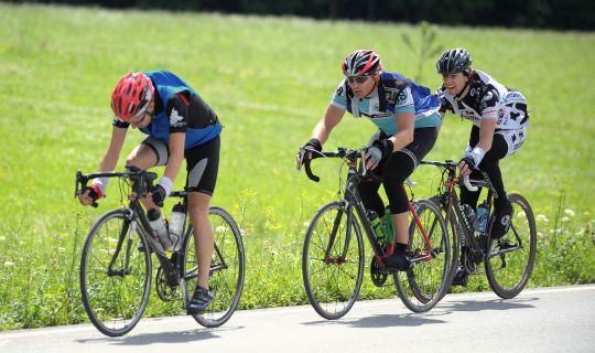
Cycling loop from Brunnenfeld-Stallehr through the Walgau to Galinasee and Nachbauersee
Cycle routes
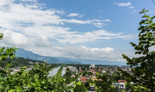
Cycling circuit from Feldkirch through Altenstadt, Gisingen, Nofels, Tosters and Tisis
Cycle routes
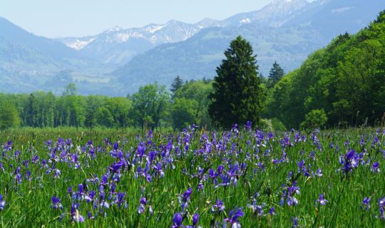
Cycling loop from Gisingen via Bangs and the gravel lakes
Cycle routes
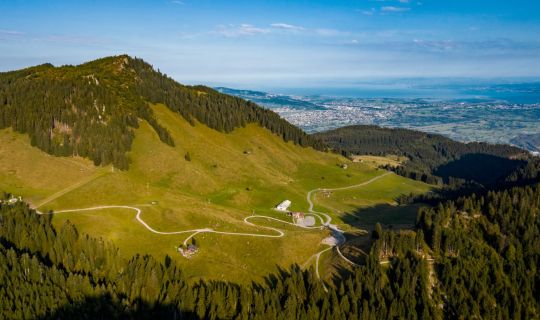
Mountain bike circuit from Hohenems via Gsohl, Emser Hütte and Schuttannen
Tour-Quickfacts
Distance
28,1 km
Duration
05:00h
Ascent
1050m
Descent
1050m