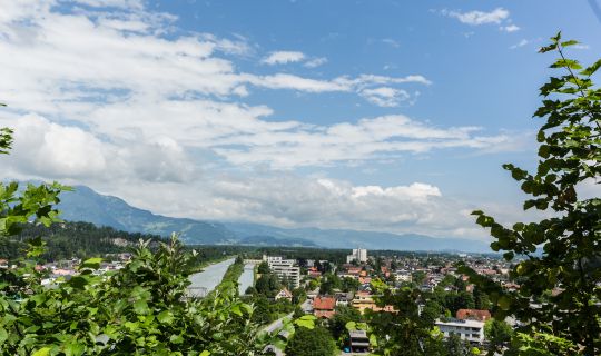
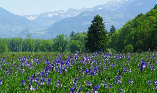
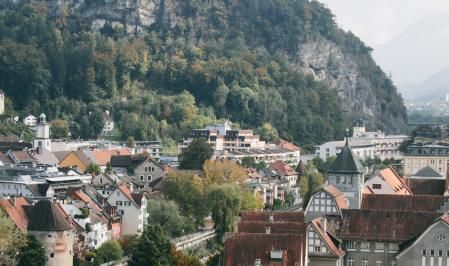
The circular route begins in Thüringerberg at the “Thüringerberg Außerberg” bus stop. Thüringerberg is situated above the Walgau valley, at the entrance to the Großes Walsertal. The tour starts with a noticeable descent. As the route loses elevation, the scenery changes from the higher mountain slopes to the valley and settlements of the Walgau.
The route then continues through the areas of Schnifis and Röns, passing the Parish Church of St John the Baptist and the Parish Church of St Magnus. These villages lie between wooded hillsides and the valley floor, with meadows, farms and small settlements characterising this part of the tour. Despite a few flatter sections and gentle climbs, the route continues to descend overall.
Heading towards Satteins, the route passes the Parish Church of St George and reaches its lowest point at just under 500 metres above sea level. This marks the transition from the long descent to the main physical challenge of the tour: from here, the route climbs steadily over several kilometres, gradually leaving the villages and valley landscape behind.
The first long climb leads up the slopes above the Walgau valley, gaining more than 500 metres in elevation over several kilometres. Wooded sections alternate with more open hillsides, offering occasional views down into the valley. The sustained gradient requires careful pacing, while shorter, flatter stretches provide opportunities to settle into a comfortable rhythm.
After a brief respite, another extended climb leads into the higher mountain areas of Dünserberg. The surroundings become increasingly alpine, with open meadows and alpine pastures shaping the landscape. At the highest point, around 1,560 metres above sea level, clear weather offers sweeping views across the Walgau valley and towards the mountains of the Rätikon range. The Dünser Älpele, a well-known destination for excursions and refreshments, is also located in this mountain area.
The highest section is followed by a long, sometimes very steep descent, losing several hundred metres in elevation within just a few kilometres. The route leads from open mountain landscapes back down into lower, more densely wooded hillsides. Particularly in changing conditions, the steep gradient requires concentration and a controlled speed.
The circular route is not quite finished yet: another noticeable climb adds around 170 metres of elevation gain before the final kilometres lead downhill back to Meiern, where the loop is completed. It is also possible to join the route at other suitable, publicly accessible points along the way.