Details
| Fitness | |
| Landscape | |
| Difficulty | difficult |
| Experience | |
| Highest point | 1276 m |
| Jan | Feb | Mar | Apr | May | Jun |
| Jul | Aug | Sep | Oct | Nov | Dec |
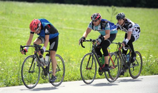
A demanding circular cycle ride in the Walgau: starting at Schlins-Beschling railway station, this approximately 31.7-kilometre route links the valley floor with a sustained climb into the surrounding mountains. The contrast between the open Walgau valley and the higher slopes shapes the experience.
After a relatively gentle beginning comes the main physical challenge: the route gains almost 750 metres in elevation over approximately seven and a half kilometres. Its highest section reaches around 1,280 metres above sea level. A long descent then leads back down towards the valley.
This loop calls for excellent fitness, suitable gearing and confident bike handling on extended descents. The final kilometres are considerably gentler and take you back to the starting point.
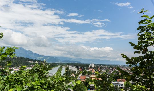
The circular cycling route begins right next to Schlins-Beschling railway station in the Walgau valley. At just under 500 metres above sea level, villages, meadows and the broad valley shaped by the River Ill provide the setting for a ride with considerable changes in elevation. The first three kilometres are relatively gentle, allowing you to warm up before the challenging climb ahead. The route initially leads to Nenzing, passing Nenzing Parish Church and Gasthaus Rössle.
From here, the character of the route changes significantly. A long climb leads out of the valley and up the mountainsides overlooking the Walgau. Over approximately seven and a half kilometres, the route gains almost 750 metres in elevation. The ascent is sustained and steep on average, making careful pacing and excellent stamina essential. As you gain altitude, the landscape gradually changes: the densely populated valley floor recedes into the background, while the surrounding slopes and mountain ranges become increasingly prominent.
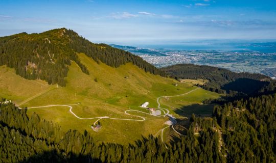
After approximately one-third of the total distance, the route reaches its highest point at around 1,280 metres above sea level. On a clear day, the higher sections offer particularly striking views of the contrast between the Walgau valley floor and the surrounding mountains. Take time for a break wherever it is safe to stop; the long climb is now behind you.
The route then descends briefly, followed by sections with smaller changes in elevation leading towards Alpe Rona, before the main descent begins. First, the route crosses the Tschengla high plateau and passes the Paarhof Buacher local heritage museum in Bürserberg.
Over approximately seven kilometres, the route loses around 680 metres in elevation as it descends towards the lower reaches of the Walgau. This long descent requires careful anticipation, a controlled speed and reliable brakes. As you lose altitude, the villages and the wide valley floor gradually come back into view.
The remaining 13 kilometres are predominantly flat or gently undulating. After the mountainous section, this final stretch offers a different perspective on the Walgau, with its villages, cultivated landscapes and surrounding mountains. On reaching the Bürs and Bludenz area, the route follows the River Ill back to Schlins-Beschling railway station. It is also possible to join the circular route at other suitable points along the way where cycling is permitted.
The starting and finishing point is Schlins-Beschling railway station, Gewerbestraße 1, 6824 Schlins, immediately beside the village of Beschling.
By public transport
Bus stop at the start/finish: Schlins Bahnhof, immediately beside Schlins-Beschling railway station.
Train station at the start/finish: Schlins-Beschling railway station.
The station is on the railway line through the Walgau and is served by the Vorarlberg S-Bahn. Regional bus services provide connections from neighbouring communities. Please check current services and the conditions for taking bicycles on board before travelling.
Link for journey planning: vmobil.at
By car
Take the A14 Rheintal/Walgau motorway and the Nenzing exit towards Schlins-Beschling. Near the station, follow local signs for access via Schlinserstraße.
Parking
The recommended option is the ÖBB parking area at Schlins-Beschling railway station, accessed via Schlinserstraße. Please observe the conditions displayed on site.
We recommend a well-maintained bicycle suitable for long, steep climbs, with appropriate low gearing, a cycle helmet, tyres with good grip and reliable brakes. Carry plenty of drinking water and food, clothing suited to the weather, sun and rain protection, a small repair kit with a spare inner tube or puncture repair equipment, a first-aid kit and a fully charged mobile phone.
The long ascent is physically demanding, so pace yourself and allow plenty of time. On the subsequent lengthy descent, controlling your speed and braking well in advance are particularly important. Always adapt your riding to visibility, weather, the surface and any oncoming traffic. Conditions can change quickly at higher altitudes. Observe local signs, closures and any restrictions on where cycling is permitted. Be considerate of other people on shared routes.
The main attraction of this ride is the contrast between the Walgau valley and the much higher mountain slopes. In clear weather, the higher sections offer attractive perspectives over the villages and cultivated valley landscape. As no specific refreshment stop along the route could be reliably confirmed, it is advisable to bring food and sufficient water from the outset.