Details
| Fitness | |
| Landscape | |
| Technique | |
| Experience |
| Jan | Feb | Mar | Apr | May | Jun |
| Jul | Aug | Sep | Oct | Nov | Dec |
Starting in Gütle, a hamlet of Dornbirn, this varied mountain bike circuit climbs through Bruggerwald forest to Kobelalpe. Over approximately 12.9 kilometres, the route combines tarmac mountain roads and gravel tracks, dense woodland and the open alpine landscape surrounding the mountain pasture.
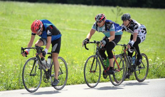
The long climb via Beckenmann and Rudach requires a good level of fitness. Particularly steep sections and the subsequent descent on partly gravel-surfaced tracks also call for confident bike-handling skills. This circuit is best suited to experienced mountain bikers looking for a short but demanding ride in the mountains.
Kobelalpe provides an attractive place to rest amid Dornbirn's mountain scenery. The return route descends via Niedere and follows the Kobelach stream back to Gütle.
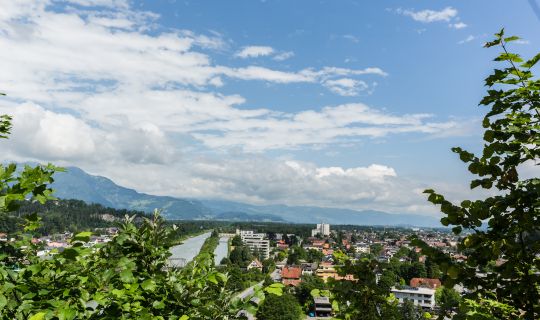
The circuit starts in Gütle, a hamlet of Dornbirn, not far from Gasthof Gütle. The climb begins almost immediately: a tarmac mountain road leads through the hamlet of Beckenmann, gradually leaving the settled valley behind and entering Bruggerwald forest. Wooded slopes define the character of this opening section.
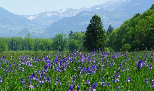
The long climb continues through Bruggerwald on partly gravel-surfaced tracks. The first five and a half kilometres involve a total height gain of around 500 metres. There is little respite from the gradient, while the surroundings become increasingly characterised by forest, clearings and mountain meadows.
The ascent becomes particularly demanding around the area known as Rote Platte. In places the track is so steep that riders may need to push or carry their mountain bikes for a short section. The circuit then continues along farm and forest tracks to the woodland settlement of Rudach. This small settlement lies within the forested mountain landscape above Dornbirn.
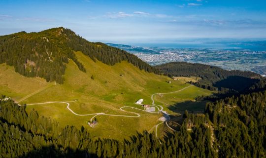
From Rudach, the route continues towards Kobelalpe. The highest part of the circuit reaches just over 1,000 metres above sea level. Kobelalpe itself stands at around 970 metres and, with its alpine pastures and traditional mountain building, makes an appealing place to pause. Whether refreshments are available depends on the mountain hut's current operation and should be checked in advance.
After the alpine pasture, the return ride begins towards Niedere. The route initially descends on gravel tracks and runs partly along the valley of the Kobelach stream. Forest scenery alternates with the streamside landscape, and the track becomes distinctly steep in places. On loose surfaces and sharper bends, it is important to moderate your speed and brake in a controlled manner.
Further along, the circuit joins tarmac sections heading towards Gütle. A brief uphill section interrupts the extended descent towards the end of the ride, before the final downhill stretch leads back into the valley. The circuit finishes where it began in Gütle. As this is a circular route, it is also possible to join it at other suitable points where access and cycling are permitted.
The starting and finishing point of the circuit is Gütle in Dornbirn, near Gütle car park and Gasthof Gütle.
By public transport
Bus stop at the start/finish: Dornbirn Gütle.
Train station at the start/finish: Dornbirn Bahnhof
Bus route 177 connects Dornbirn railway station with the Dornbirn Gütle bus stop.
Journey planner: vmobil.at
By car
From the A14 Rhine Valley motorway, take one of the Dornbirn exits towards the town centre, then follow signs for Gütle. Access is via Gütlestraße into the valley of the Dornbirner Ache river.
Parking
The recommended option is Gütle car park: a public car park for hikers in the area of the museums and Gasthof Gütle, close to the starting point. Please observe the current signs and parking conditions on site.
A well-maintained mountain bike with tyres offering good grip and reliable brakes is essential; a suitable e-mountain bike can also be used. A cycle helmet, gloves, sturdy cycling shoes, clothing appropriate for the weather, sufficient drinking water and snacks are recommended. Carry a repair kit, spare inner tube or tubeless repair supplies, pump, mobile phone and a small first-aid kit. Shoes with good grip are useful for any short sections where you need to push the bike.
The sustained, sometimes steep climb requires a good level of fitness. A short section around Rote Platte may have to be negotiated on foot, pushing or carrying the bike. On the longer descents, especially where gradients are steep and the gravel is loose, anticipate hazards, maintain control of your brakes and leave adequate distance.
Mountain roads, farm tracks and forest tracks may be used by agricultural or forestry vehicles as well as walkers. Ride at a speed that allows you to stop within the visible distance, respect other users, close any pasture gates behind you and stay exclusively on signposted routes that are open to cycling.
After rain, gravel and forest surfaces can be slippery. The circuit is not recommended in snow, ice or thunderstorms. Construction work or temporary closures around Niedere, Rappenloch and Staufensee may affect the route. Check current notices before setting out and follow local signs during the ride.
Kobelalpe is the scenic highlight of the circuit and a lovely place for a break. Check in advance whether food and drink are being served at the time. Gasthof Gütle is another option for refreshments in Gütle; it is advisable to check its current opening times as well.
If you have time after the ride, the area around Rappenloch Gorge can be explored on foot from Gütle. The gorge is a separate attraction and does not form a rideable part of this mountain bike circuit. Snow- and ice-free days from late spring to autumn are generally the most suitable for this tour.