

This easy point-to-point cycle tour follows the Vorarlberg section of EuroVelo 15 from Egelsee near Feldkirch to Brugger Loch in Höchst. Following mostly flat paths, it links Feldkirch’s old town, the floodplain forests along the River Ill, Illspitz and the Old Rhine.

Dietmar Stiplovsek / Hohenems Tourismus

Petra RainerPetra Rainer / Bodensee-Vorarlberg Tourismus Bodensee-Vorarlberg Tourismus
Details
| Highest point | 439 m |
Best time of year
| Jan | Feb | Mar | Apr | May | Jun |
| Jul | Aug | Sep | Oct | Nov | Dec |
Short description
This easy point-to-point cycle tour follows the Vorarlberg section of EuroVelo 15 from Egelsee near Feldkirch to Brugger Loch in Höchst. Following mostly flat paths, it links Feldkirch’s old town, the floodplain forests along the River Ill, Illspitz and the Old Rhine.
Route description
The tour begins at Egelsee on the border between Feldkirch and Mauren. The route initially heads towards Feldkirch through a landscape of small ponds, meadows and fields. It passes through Tisis and Tosters, crossing varied residential and rural surroundings before reaching the area close to Feldkirch’s old town.
After leaving the urban area, the route reaches the River Ill. It follows the river through Gisingen and Nofels before the built-up surroundings gradually give way to the floodplain forests and open countryside of the Bangs-Matschels European protected area.
At Illspitz, the River Ill flows into the Alpine Rhine. The character of the tour changes here, with long, almost level sections following the Rhine through Meiningen, Koblach and Mäder. The open river landscape affords far-reaching views of the surrounding mountains of the Rhine Valley.
At Hohenems, the route reaches the Old Rhine. Quiet stretches of water, riverside woodland and natural sections characterise this part of the tour. The route then continues towards Lustenau.
In Lustenau, the route crosses to the opposite bank. The final section once again follows the Rhine and ends at Brugger Loch in Höchst. The bathing lake provides a suitable place to finish the tour and is located directly beside the cycle route.
As the start and finish are in different locations, the return journey should be planned in advance. Alternatively, this section can be incorporated into a longer ride along EuroVelo 15.
Getting there
We recommend starting at Egelsee on the border between Feldkirch-Tisis and Mauren. As the tour finishes at Brugger Loch in Höchst, travelling by public transport is particularly practical.
By public transport
Bus stop at the start
The nearest bus stop is “Tisis Fangsweg”. It is served from Feldkirch railway station by Stadtbus route 409. Egelsee is a short cycle ride from the bus stop.
Bus stop at the finish: The “Höchst Brugg” bus stop is located close to Brugger Loch. It is served by bus routes 141, 160 and 163, among others, with connections towards Lustenau, Dornbirn and Bregenz.
Railway station
Feldkirch railway station is suitable for the outward journey. As the route passes the station, the tour can also be started there if required. Lustenau railway station is suitable for the return journey and can be reached from the finish via Höchst Brugg.
Check bicycle carriage arrangements before travelling.
Plan your journey here: vmobil.at
By car
Take the A14 to the Feldkirch-Frastanz exit and continue towards Feldkirch, Tisis and Mauren. A valid motorway vignette is required to use Austrian motorways.
As this is a point-to-point route, we recommend leaving your car in Feldkirch and organising the return journey by public transport.
Parking
Parking is available at Parkgarage Bahnhofcity by Feldkirch railway station. Current charges, opening hours and regulations should be checked on site.
Equipment
Appropriate equipment is recommended for this cycle tour: a cycle helmet, a cycling backpack or panniers if required, comfortable footwear or cycling shoes, clothing suitable for the weather, sun protection and rainwear, a bicycle pump if required, basic bike tools, a spare inner tube, snacks and sufficient drinking water, a first-aid kit, a bike lock and a mobile phone.
A roadworthy gravel, trekking or touring bike is recommended. Wider tyres with a good tread provide additional comfort on the occasional unsurfaced sections.
Safety information
The route runs mainly along cycle paths, minor roads, embankment paths and surfaced or partly unsurfaced paths. Extra care is required in Feldkirch’s urban area, through built-up sections and at road crossings.
On shared footpaths and cycle paths, please adjust your speed, make your presence known in good time and be considerate of pedestrians and other cyclists.
The long sections along the Rhine embankment are exposed to the sun and wind and offer little shade in places. Carry sufficient drinking water as well as sun and weather protection.
After heavy rain, unsurfaced paths may be wet or slippery. Flooding may result in closures along the River Ill, the Rhine and the Old Rhine. Observe all barriers and do not use closed paths.
The route passes through sensitive natural habitats and protected areas. Please remain on the designated paths, do not tread on or pick plants and avoid disturbing wildlife.
You use the route at your own risk. Check your bicycle, the weather conditions, your personal fitness and the condition of the route before setting off.
EMERGENCY NUMBERS
112 European emergency number – works from any mobile phone and on any network
144 Ambulance service in Austria
Additional information
Refreshments and rest stops
Places to stop for food and drink can be found in Feldkirch and in the towns along the route, including Hohenems and Lustenau. Seasonal refreshments and toilet facilities are available at Brugger Loch.
Pleasant places to rest can be found beside the River Ill, at Illspitz and along the Old Rhine. However, shaded places are limited on the open embankment sections.
Nature and swimming
Illspitz, the Bangs-Matschels European protected area and the Old Rhine are among the scenic highlights of the route. Brugger Loch offers an opportunity to swim at the end of the tour. The local bathing and usage regulations apply.
Suitability
The tour is listed under the Gravel and “Räder halt” categories. It is largely flat and technically easy, although its length of around 35 kilometres requires a basic level of fitness.
The route is generally suitable for families with children who are confident cyclists and have sufficient stamina. Road crossings, long exposed sections and the need to organise the return journey should be taken into account.
The route is not wheelchair-accessible throughout.
Shorter options and return journey
You can join the route or leave it early in several places, including Feldkirch, Hohenems and Lustenau. Feldkirch and Lustenau railway stations make it easier to plan individual stages.
Best time of year
The route can be ridden all year round when conditions are free of snow and ice. It is particularly pleasant from March to October. Access to individual sections may be restricted after heavy rain or during flooding.
Further information
This tour is a section of EuroVelo 15, also known as the Rhine Cycle Route. Further information about the international route: eurovelo.at/de/routes/eurovelo-15/
Cycle routes
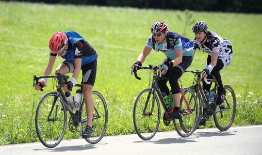
Cycling loop from Brunnenfeld-Stallehr through the Walgau to Galinasee and Nachbauersee
Cycle routes
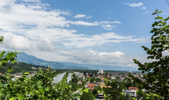
Cycling circuit from Feldkirch through Altenstadt, Gisingen, Nofels, Tosters and Tisis
Cycle routes
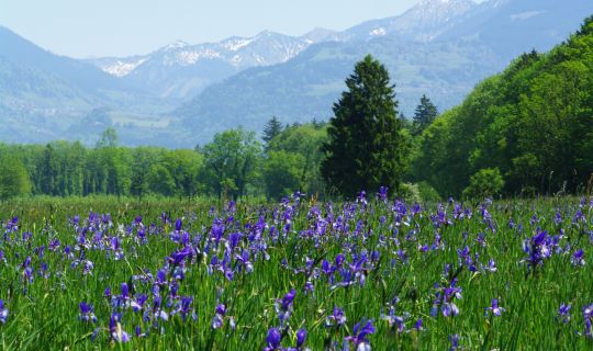
Cycling loop from Gisingen via Bangs and the gravel lakes
Cycle routes
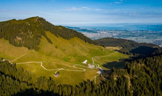
Mountain bike circuit from Hohenems via Gsohl, Emser Hütte and Schuttannen
Tour-Quickfacts
Distance
35,2 km
Duration
02:30h
Ascent
0m
Descent
30m