Gravelbike Feldkirch

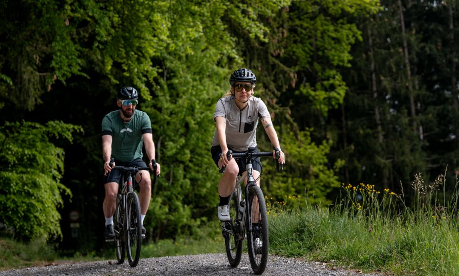
Graveltour Feldkirch

Feldkrich - Bangs - Meiningen - Rankweil - Göfis - Feldkirch

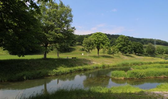
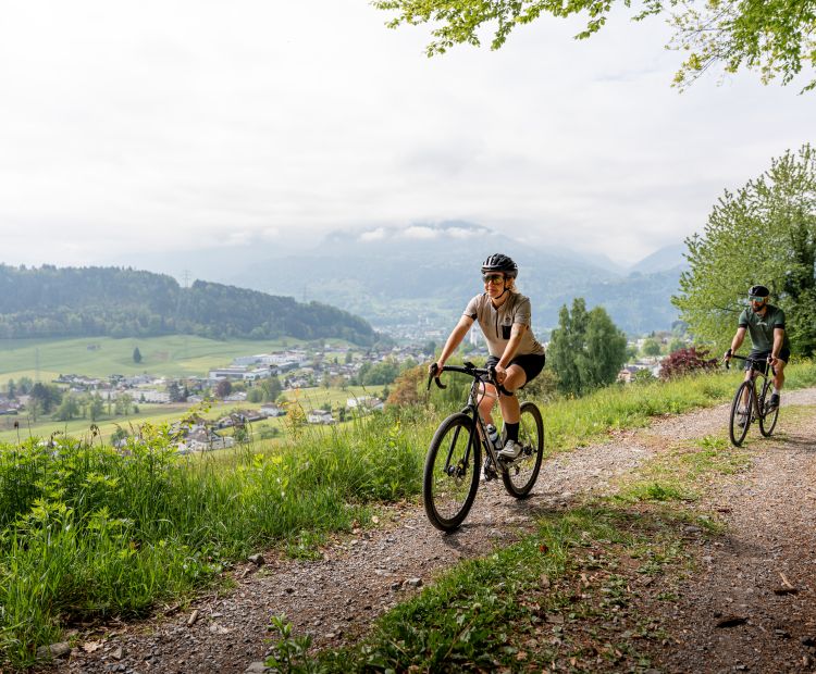
From Feldkirch train station, the route follows the Ill River towards the Bangs-Matschels European conservation area. After about twelve kilometers, the trail shifts to the banks of the Frutz River and continues along it to Rankweil. From there, a pleasant climb leads up to 650 meters above sea level, following the ridge of the Hoher Sattel and passing through several wooded sections. A swift descent brings you to Göfis, before the route follows the Ill River once more and leads back into Feldkirch’s city center.

Details

Highest point665 m
Best time of year
JanFebMarAprMayJun
JulAugSepOctNovDec
Graveltour around Feldkirch

Feldkrich - Bangs - Meiningen - Rankweil - Göfis - Feldkirch

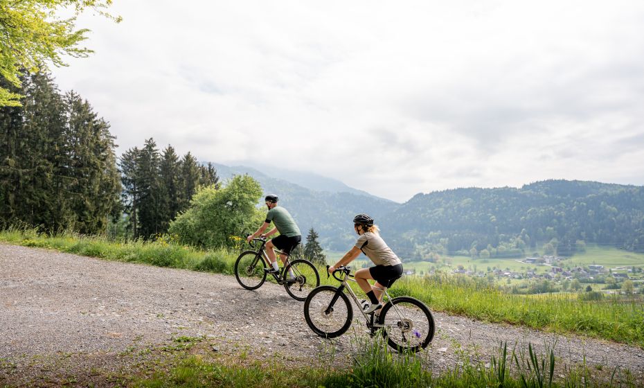
From Feldkirch train station, the route follows the Ill River towards the Bangs-Matschels European conservation area. After about twelve kilometers, the trail shifts to the banks of the Frutz River and continues along it to Rankweil. From there, a pleasant climb leads up to 650 meters above sea level, following the ridge of the Hoher Sattel and passing through several wooded sections. A swift descent brings you to Göfis, before the route follows the Ill River once more and leads back into Feldkirch’s city center.
Tour-Quickfacts
Distance
33,1 km
Duration
03:20h
Ascent
290m
Descent
290m