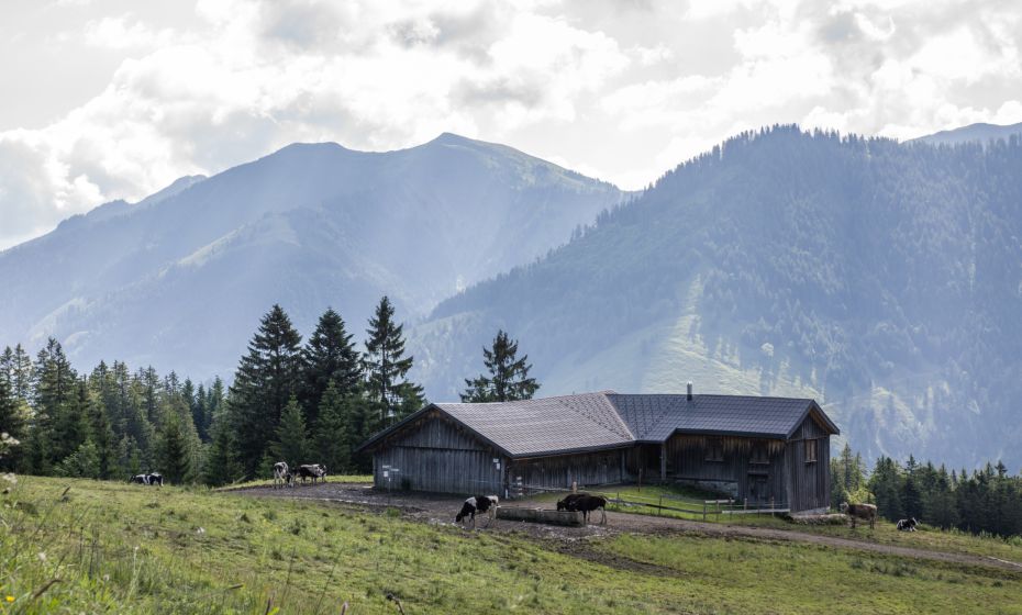
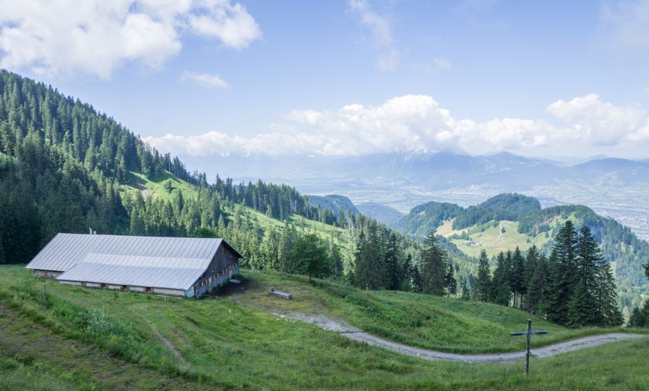
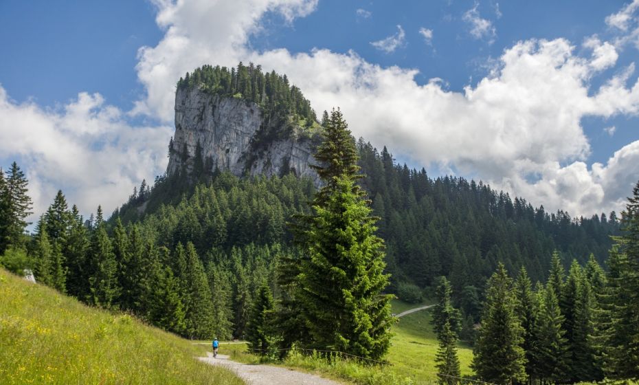
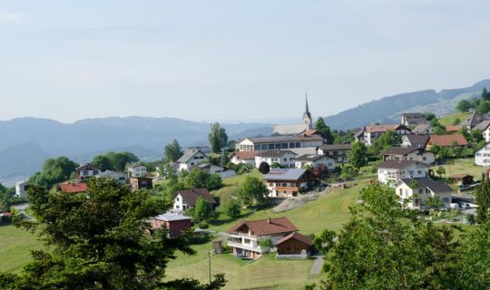
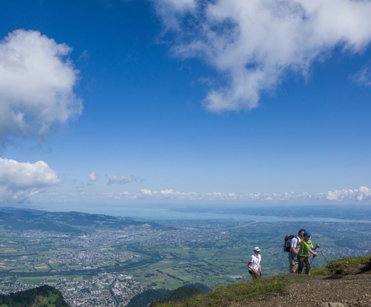
Blick von der Hohen Kugel auf Rheintal und Bodensee

Alpine Pasture Hike l Dornbirn-Ebnit - Hohe Kugel

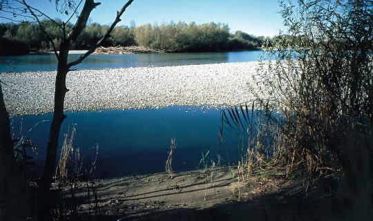
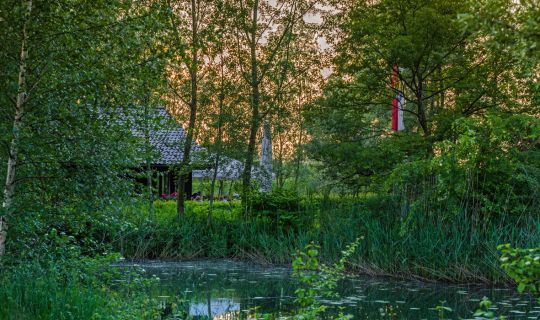
Hike from Ebnit across the Hohe Kugel and back to Ebnit. The round trip through pristine nature provides an impressive view of the Hohe Kugel and various Alpine Pastures with regional homemade products.

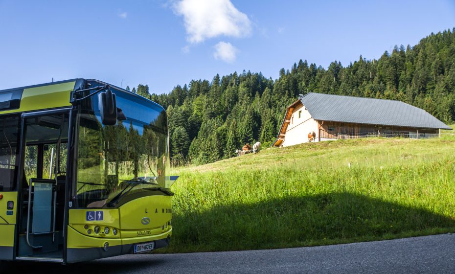
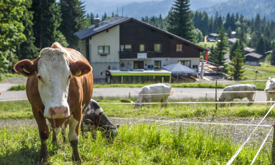
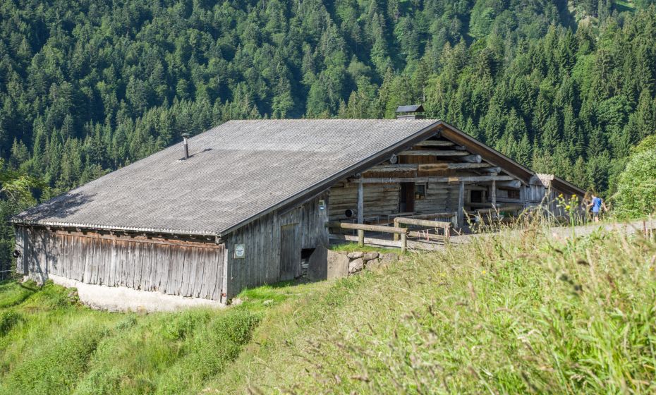
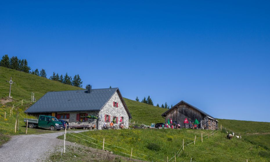
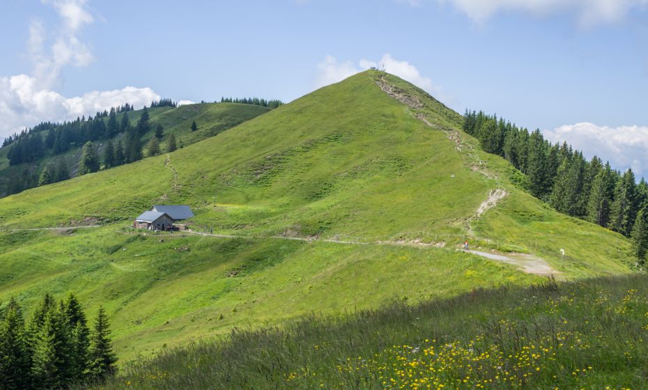
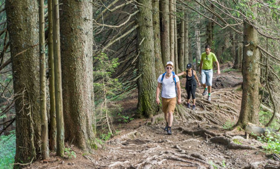
From Gasthaus Heumöser you soon reach the first Alpine Pasture, the Lindenbachalpe. Via meadows and forest paths you climb past the Schneewaldalpe to the Kugelalpe, which is located only a few meters below the Hohe Kugel. Various snacks, cream cheese and home-baked cakes – the team of the Kugelalpe provides hikers with all sorts of refreshments. The ascent to the Hohe Kugel is rewarded with a magnificent panoramic view. You descend north over the mountain ridge to the Emser Hütte (Naturfreundehaus) and continue to the Alpe Schöner Mann that is located on the south side of the peak of the same name. The team spoils guests with their own products such as mountain- and sliced-cheese as well as drinks. On your way to Ebnit, you will pass the Pfarrers Älpele, a rustic but comfortable resting point which processes and sells its own products.

Details

Stamina
      
Landscape
      
Technique
      
Difficultymoderate
Experience
      
Highest point1645 m
Best time of year
JanFebMarAprMayJun
JulAugSepOctNovDec
Brief description

Hike from Ebnit across the Hohe Kugel and back to Ebnit. The round trip through pristine nature provides an impressive view of the Hohe Kugel and various Alpine Pastures with regional homemade products.

Directions

From the village you hike to the Heumöseralpe (in case you travel by bus, you get off at the bus station Heumöseralp) and get to the first Alpine Pasture, the Lindenbachalpe, via a small road. You hike on a red-and-white marked meadow and forest path past the Schneewaldalpe up to the Kugelaple. Afterwards you hike up the Hohe Kugel and north (red-and-white marked trail) across the mountain saddle to the Emser Hütte. After the Fluhereck (yellow-and-white marked road) you take a left turn to the Alpe Schöner Mann. You go back to the crossing near Fluhereck and reach the path that leads down to Ebnit and past Pfarrers Älpele.

Author: Düringer Helmut
Tour-Quickfacts
Difficulty
moderate
Distance
12,0 km
Duration
04:45h
Ascent
716m
Descent
706m